Import IKE/JSON file
Another Popular file format is a JSON file generated by IKEOffice from data collected with IKE field data collection devices. The process is very similar to importing KML and CSV files, starting by pressing the Import Button in the Coordinates Editor Window. It can import everything that CSV file formats can import, plus span attachments, clearance points and mid span taps.

Start by finding the JSON file you would like to Import:
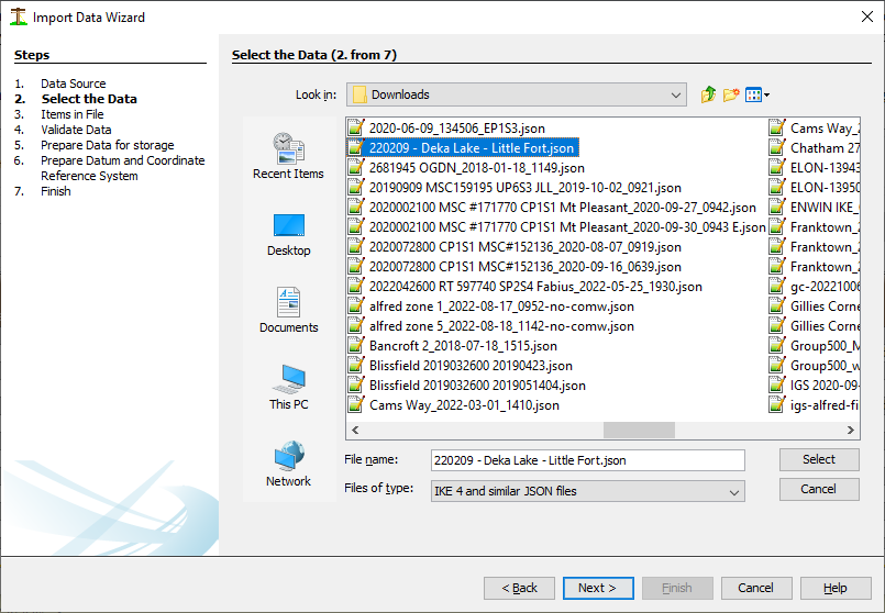
JSON field definitions are pre-defined and integrated between IKEOffice and Quick Pole; so there are no fieldname concerns.
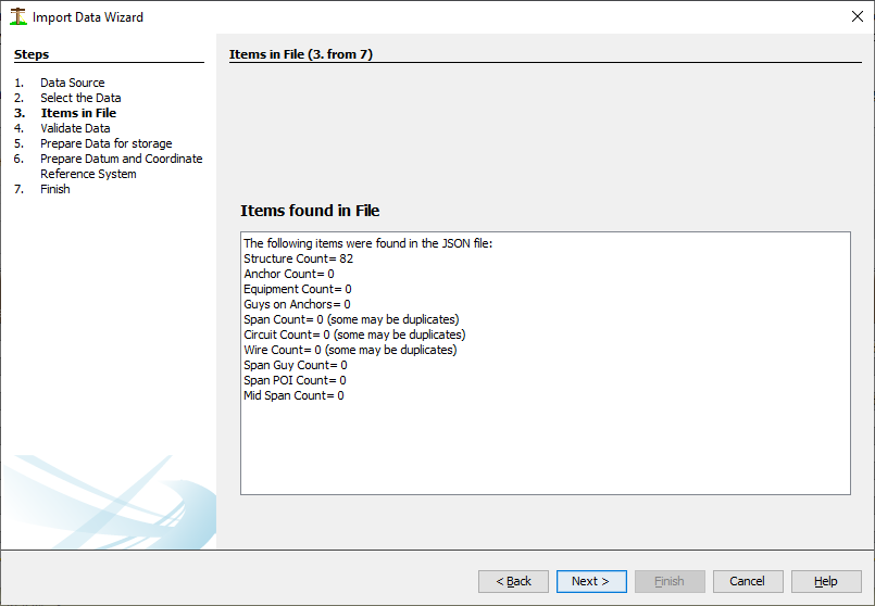
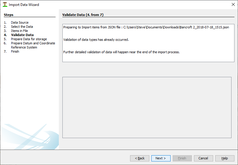
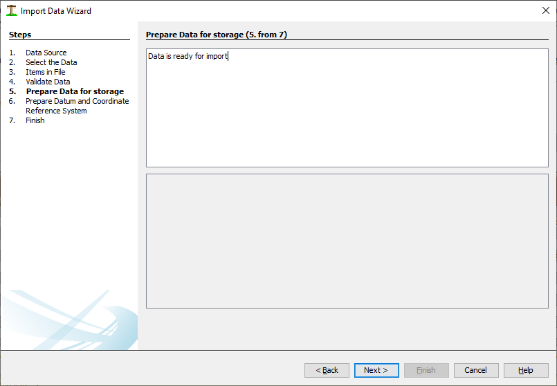
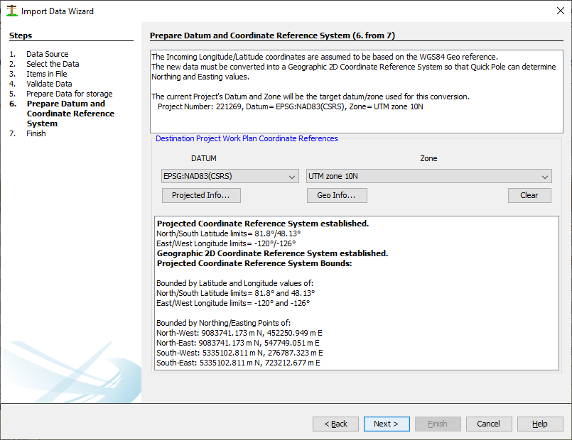
As with other file formats, Quick Pole needs to confirm the destination Datum/Zone for the project:
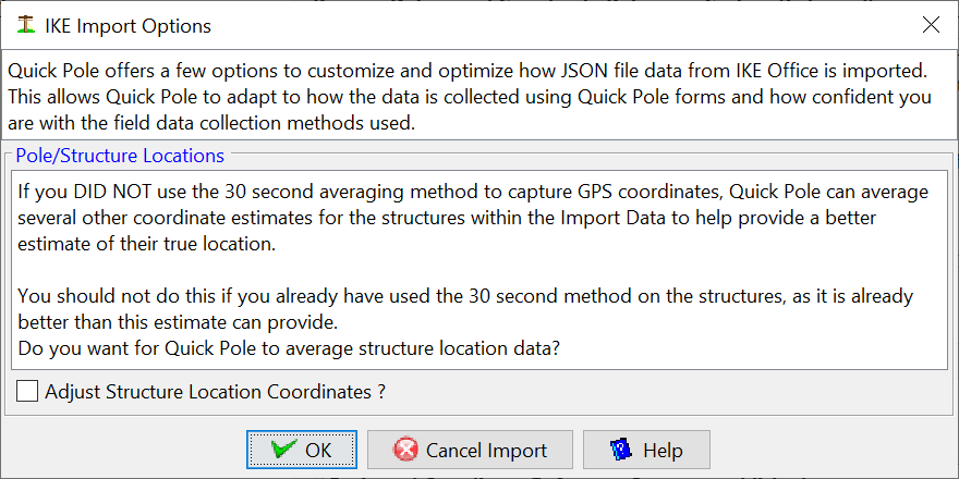
The IKE device can used in a few different ways and still result in data from the handheld's Quick Pole form that can be imported. However, the method used and the resulting accuracy assumed does not appear in the resulting data to import. Therefore Quick Pole needs to ask you a few questions so that you can get the most out of this data.
The questions themselves are explained in the Dialog image below.
The ground elevation at the Clearance Point can be automatically captured from the import data, if the data collection methodology resembles this:
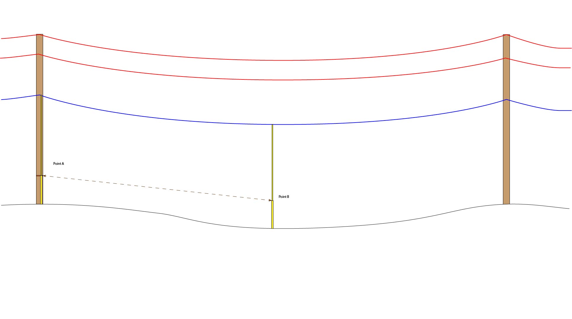
A common way to implement this is to start by marking the 5 foot height offset location at the pole. This could be done a variety of ways, but one way that works reasonably well is to place a bright colored piece of duct tape on the pole; something that can easily be seen from a distance. So when the field surveyor with the hastings stick moves to the clearance point, the person operating the IKE device can aim at the 5 foot mark on the pole then pan over to the 5 foot mark on the Hastings stick as the person is standing there holding it at the clearance point.
Alternatively, to support one-person field detailer teams, you can just take the Height measurement at the Clearance Point. Quick Pole will use that to estimate this point's distance from the other poles, plus the ground elevation.
Also related to Clearance Points, the ground elevation of the Clearance Point can be added via IkeOffice after the survey and populated in a new field called "spanPointGroundAltitude". This will over-ride any data collected in the field for this value. This may be helpful in cases where elevations may not be considered reliable from the field, or any other reason.
A number of questions may be asked next to match up imported data with items found in your datasets. After that it will present you with a status of the import.
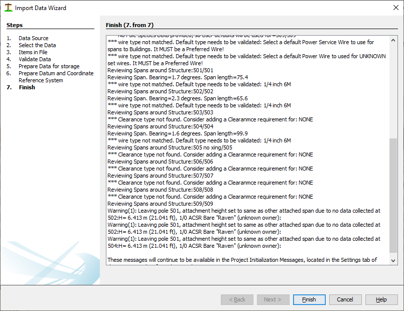
Simply press "finish" to finalize the import.